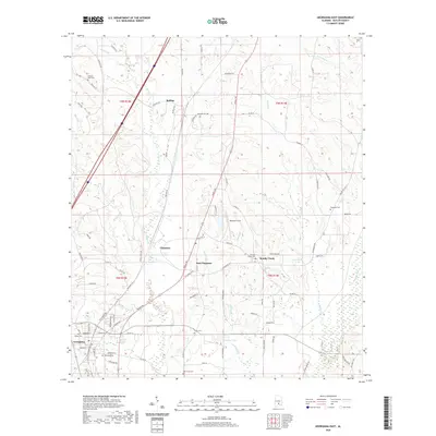
2020 Map of Georgiana East
USGS Topo · Published 2020About this map
Georgiana anchors the southwestern corner of this survey, a primary hub in Butler County where local roads and rails converge. The landscape is defined by its small timber-country settlements and family-named landmarks, such as Bolling, Chapman, and East Chapman. A high density of rural burial grounds, including Antioch West Cem and Oak Grove Cem, suggests established community roots and family landholdings that have persisted through generations.
Find a feature on this map
90 named features on this map. Tap any name to fly to it.
Don’t see what you’re looking for? This feature index may not catch every label — zoom into the map to look around manually.
Map Details
Editions of this 2020 Georgiana East Map
This is the sole edition of this map. No revisions or reprints were ever made.
Other maps of this area

1953 · Andalusia
USGS Topo · 1:250,000

1957 · Andalusia
USGS Topo · 1:250,000

1971 · Industry
USGS Topo · 1:24,000

1971 · Greenville West
USGS Topo · 1:24,000

1971 · Pigeon Creek
USGS Topo · 1:24,000

1971 · Mc Kenzie
USGS Topo · 1:24,000

1971 · Greenville East
USGS Topo · 1:24,000

1971 · Georgiana East
USGS Topo · 1:24,000

1971 · Garland
USGS Topo · 1:24,000

1971 · Georgiana West
USGS Topo · 1:24,000