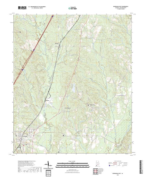
2024 Map of Georgiana East
USGS Topo · Published 2024About this map
Georgiana stands as the primary hub on this Butler County map, where the modern corridor of Interstate 65 parallels the historic CSX Transportation line. This area of south-central Alabama is defined by its small timber-country settlements and family cemeteries that dot the pine-covered landscape. Small communities like Chapman and Bolling are reached by winding county roads, while East Chapman and Brushy Creek occupy the spaces between the Persimmon Creek and Mashy Creek drainages. Genealogists will find a high density of burial sites throughout the quadrangle, from Oakwood Cem and Milner Cem in the town center to rural sites like Antioch West Cem and Oak Grove Cem on the periphery. The terrain is relatively consistent, punctuated by landmarks such as Solomon Hill and the small airfield at McGowin Field, reflecting the region's enduring reliance on light aviation and the timber industry.
Find a feature on this map
91 named features on this map. Tap any name to fly to it.
Don’t see what you’re looking for? This feature index may not catch every label — zoom into the map to look around manually.
Map Details
Editions of this 2024 Georgiana East Map
This is the sole edition of this map. No revisions or reprints were ever made.
Other maps of this area

1953 · Andalusia
USGS Topo · 1:250,000

1957 · Andalusia
USGS Topo · 1:250,000

1971 · Industry
USGS Topo · 1:24,000

1971 · Greenville West
USGS Topo · 1:24,000

1971 · Pigeon Creek
USGS Topo · 1:24,000

1971 · Mc Kenzie
USGS Topo · 1:24,000

1971 · Greenville East
USGS Topo · 1:24,000

1971 · Georgiana East
USGS Topo · 1:24,000

1971 · Garland
USGS Topo · 1:24,000

1971 · Georgiana West
USGS Topo · 1:24,000