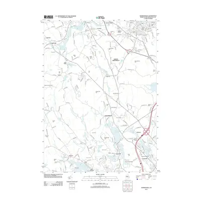
2012 Map of Georgiaville
USGS Topo · Published 2012About this map
Woonsocket Hill and Nipsachuck Hill rise above a landscape defined by the winding Woonasquatucket River and its industrial heritage. This early 21st-century map illustrates the density of the Globe neighborhood and Hanora Mills contrasted with the more open acreage of Seven Cedars Christmas Tree Farm and Steere Orchard. The geography is anchored by significant water bodies, from the large Slatersville Reservoirs in the north to the Stillwater Reservoir and Waterman Reservoir in the south.
Find a feature on this map
217 named features on this map. Tap any name to fly to it.
Don’t see what you’re looking for? This feature index may not catch every label — zoom into the map to look around manually.
Map Details
Editions of this 2012 Georgiaville Map
This is the sole edition of this map. No revisions or reprints were ever made.
Other maps of this area

1886 · Blackstone
USGS Topo · 1:62,500

1887 · Franklin
USGS Topo · 1:62,500

1887 · Providence
USGS Topo · 1:62,500

1889 · Providence
USGS Topo · 1:62,500

1889 · Blackstone
USGS Topo · 1:62,500

1889 · Franklin
USGS Topo · 1:62,500

1889 · Burrillville
USGS Topo · 1:62,500

1893 · Franklin
USGS Topo · 1:62,500

1893 · Blackstone
USGS Topo · 1:62,500

1894 · Burrillville
USGS Topo · 1:62,500