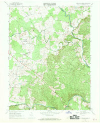
1968 Map of Germanna Bridge
USGS Topo · Published 1970About this map
The confluence of the Rappahannock River and Rapidan River anchors this landscape in the late 1960s, marking the historic boundary where Fauquier, Culpeper, and Orange counties meet. A significant portion of the western terrain is occupied by the U S Mil Res Warrenton Training Center, including its specialized facilities like the Sewage Disposal Pond and nearby Lagrange. The map documents a rural network of country stores and small communities, such as Jennings Store, Edwards Shop, and Lignum, which served as local hubs before modern development. Notable river landmarks include the prominent Horseshoe Bend and the crossing at Kellys Ford, a site deeply tied to regional transit and Civil War history. Rural life is further traced through spiritual centers like Hopewell Ch and Providence Ch, alongside the Germanna Bridge Roadside Park situated at the southern river crossing.
Find a feature on this map
29 named features on this map. Tap any name to fly to it.
Don’t see what you’re looking for? This feature index may not catch every label — zoom into the map to look around manually.
Map Details
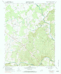
Editions of this 1968 Germanna Bridge Map
2 editions found
Other maps of this area

1887 · Spottsylvania
USGS Topo · 1:125,000

1892 · Spottsylvania
USGS Topo · 1:125,000

1894 · Warrenton
USGS Topo · 1:125,000

1894 · Warrenton
USGS Topo · 1:62,500

1927 · Remington
USGS Topo · 1:48,000

1930 · Warrenton
USGS Topo · 1:62,500

1943 · Catlett
USGS Topo · 1:62,500

1943 · Germanna Bridge
USGS Topo · 1:24,000

1943 · Chancellorsville
USGS Topo · 1:24,000

1943 · Culpeper
USGS Topo · 1:24,000