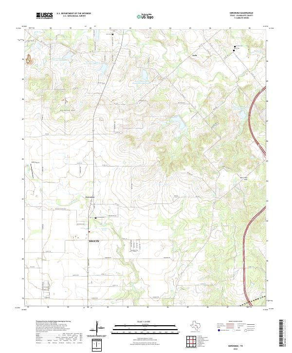
2022 Map of Geronimo
USGS Topo · Published 2022About this map
Geronimo Springs and the surrounding agricultural lands of Guadalupe County are documented in this recent survey, showcasing a landscape defined by water management and family legacy. North of the city of Seguin, the terrain transitions through the Mill Creek Hills and elevated points like Harborth Hill and Hermann Hill. The map highlights a sophisticated network of water control, featuring several reservoirs including Soil Conservation Service Site 9 Reservoir and Soil Conservation Service Site 12 Reservoir.
Find a feature on this map
80 named features on this map. Tap any name to fly to it.
Don’t see what you’re looking for? This feature index may not catch every label — zoom into the map to look around manually.
Map Details
Editions of this 2022 Geronimo Map
This is the sole edition of this map. No revisions or reprints were ever made.
Other maps of this area

1911 · San Marcos
USGS Topo · 1:125,000

1919 · San Marcos
USGS Topo · 1:125,000

1924 · New Braunfels No 4
USGS Topo · 1:48,000

1924 · San Marcos 3-c
USGS Topo · 1:48,000

1924 · San Marcos 3-d
USGS Topo · 1:48,000

1925 · New Braunfels No 1
USGS Topo · 1:48,000

1927 · New Braunfels
USGS Topo · 1:62,500

1929 · Hunter
USGS Topo · 1:62,500

1930 · Seguin
USGS Topo · 1:62,500

1953 · Seguin
USGS Topo · 1:250,000