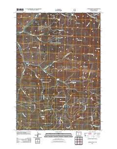
2011 Map of Gerow Butte
USGS Topo · Published 2011About this map
Gerow Butte and its neighboring summits anchor this high-elevation terrain in eastern Crook County, dominated by a series of prominent buttes and a network of named springs. The landscape is defined by the high-desert drainage patterns of Ochoco Creek and Wolf Creek, where seasonal water sources like Crooked Tree Spring and Sulphur Spring have long served as vital landmarks. Evidence of human presence and forest management is centered around the Gerow Butte Lookout Tower, which provides a vantage point over the timbered slopes and ridges. The presence of the Howard Cemetery in the northern portion of the map suggests early ranching or homesteading history in the area around Douthit Creek. This 2011 survey details the winding forest access routes such as Duncan Creek Rd and Arvid Nelson Rd that navigate the varied topography between Hawkins Butte and Sheep Creek Butte.
Find a feature on this map
39 named features on this map. Tap any name to fly to it.
Don’t see what you’re looking for? This feature index may not catch every label — zoom into the map to look around manually.
Map Details
Editions of this 2011 Gerow Butte Map
This is the sole edition of this map. No revisions or reprints were ever made.
Other maps of this area

1946 · Eagle Rock
USGS Topo · 1:62,500

1948 · Eagle Rock
USGS Topo · 1:62,500

1948 · Ochoco Reservoir
USGS Topo · 1:62,500

1950 · Ochoco Reservoir
USGS Topo · 1:62,500

1951 · Post
USGS Topo · 1:62,500

1951 · Lookout Mtn
USGS Topo · 1:62,500

1955 · Bend
USGS Topo · 1:250,000

1957 · Bend
USGS Topo · 1:250,000

1958 · Bend
USGS Topo · 1:250,000

1981 · Prineville
USGS Topo · 1:100,000