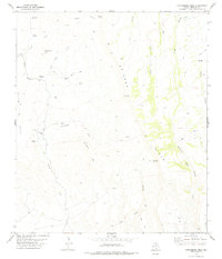
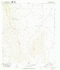
1978 Map of Gettysburg Peak
USGS Topo · Published 1978About this map
Gettysburg Peak rises above a landscape defined by ranching and resource extraction in the high desert of West Texas. Evidence of early industrial activity is etched into the terrain, most notably the Old R.R. Grade that once connected the San Carlos Mine to wider markets. The presence of a Coal Mine Ranch and several prospect locations near Horseshoe Mesa indicates a history of searching for mineral wealth across these canyons.
Find a feature on this map
35 named features on this map. Tap any name to fly to it.
Don’t see what you’re looking for? This feature index may not catch every label — zoom into the map to look around manually.
Map Details
Editions of this 1978 Gettysburg Peak Map
This is the sole edition of this map. No revisions or reprints were ever made.
Other maps of this area

1892 · Chispa
USGS Topo · 1:125,000

1895 · Chispa
USGS Topo · 1:125,000

1896 · San Carlos
USGS Topo · 1:125,000

1897 · Chispa
USGS Topo · 1:125,000

1959 · Marfa
USGS Topo · 1:250,000

1965 · Marfa
USGS Topo · 1:250,000
1972 · Soldier Spring
USGS Topo · 1:24,000
1978 · Vieja Pass
USGS Topo · 1:24,000
1978 · Valentine West
USGS Topo · 1:24,000
1978 · Capote Peak
USGS Topo · 1:24,000