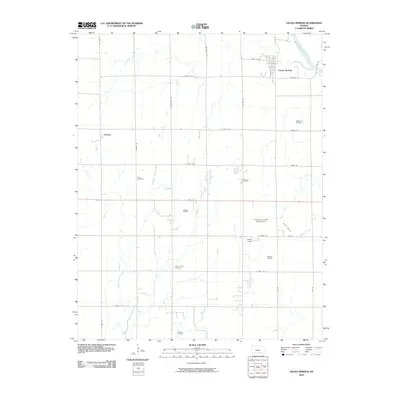
2010 Map of Geuda Springs
USGS Topo · Published 2010About this map
Geuda Springs sits at the northeastern corner of this landscape, positioned where Salt Creek flows toward its confluence with the Arkansas River. The area is defined by a grid of rural roads and the multiple branches of Middle Bitter Creek, East Bitter Creek, and Chilocco Creek that drain south through the plains. The regional economy is marked by scattered petroleum production, evidenced by the Rauckman, Padgett, and Murphy oil fields. This 2010 survey also highlights several community landmarks, including the Stroher Air Field Number Two and small burial grounds like Mount Hope Cemetery and Lollik Cemetery. To the west, the settlement of Ashton serves as another focal point for this agrarian and energy-producing corridor along the Sumner and Cowley county line.
Find a feature on this map
38 named features on this map. Tap any name to fly to it.
Don’t see what you’re looking for? This feature index may not catch every label — zoom into the map to look around manually.
Map Details
Editions of this 2010 Geuda Springs Map
This is the sole edition of this map. No revisions or reprints were ever made.
Other maps of this area

1890 · Wellington
USGS Topo · 1:125,000

1955 · Wichita
USGS Topo · 1:250,000

1955 · Enid
USGS Topo · 1:250,000

1958 · Enid
USGS Topo · 1:250,000

1958 · Wichita
USGS Topo · 1:250,000

1964 · South Haven NE
USGS Topo · 1:24,000

1965 · Portland
USGS Topo · 1:24,000

1965 · Arkansas City
USGS Topo · 1:24,000

1965 · Adamsville
USGS Topo · 1:24,000

1965 · Geuda Springs
USGS Topo · 1:24,000