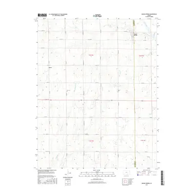
2015 Map of Geuda Springs
USGS Topo · Published 2015About this map
Geuda Springs straddles the boundary between Sumner and Cowley counties, where the Arkansas River and Salt Cr converge in a landscape defined by an orderly grid of section roads and numerous waterway drainages. To the west, the community of Ashton serves as a local hub, while the interior of the quadrangle is dotted with family and community landmarks such as Work Cem, Lolled Cem, and Mount Hope Cem.
Find a feature on this map
46 named features on this map. Tap any name to fly to it.
Don’t see what you’re looking for? This feature index may not catch every label — zoom into the map to look around manually.
Map Details
Editions of this 2015 Geuda Springs Map
This is the sole edition of this map. No revisions or reprints were ever made.
Other maps of this area
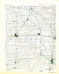
1890 · Wellington
USGS Topo · 1:125,000
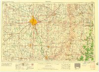
1955 · Wichita
USGS Topo · 1:250,000
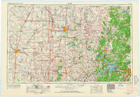
1955 · Enid
USGS Topo · 1:250,000
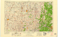
1958 · Enid
USGS Topo · 1:250,000
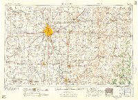
1958 · Wichita
USGS Topo · 1:250,000
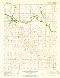
1964 · South Haven NE
USGS Topo · 1:24,000
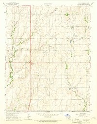
1965 · Portland
USGS Topo · 1:24,000
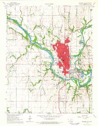
1965 · Arkansas City
USGS Topo · 1:24,000
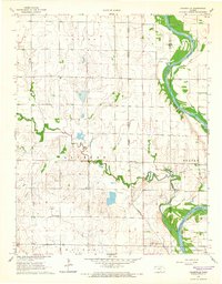
1965 · Adamsville
USGS Topo · 1:24,000
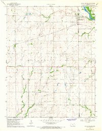
1965 · Geuda Springs
USGS Topo · 1:24,000