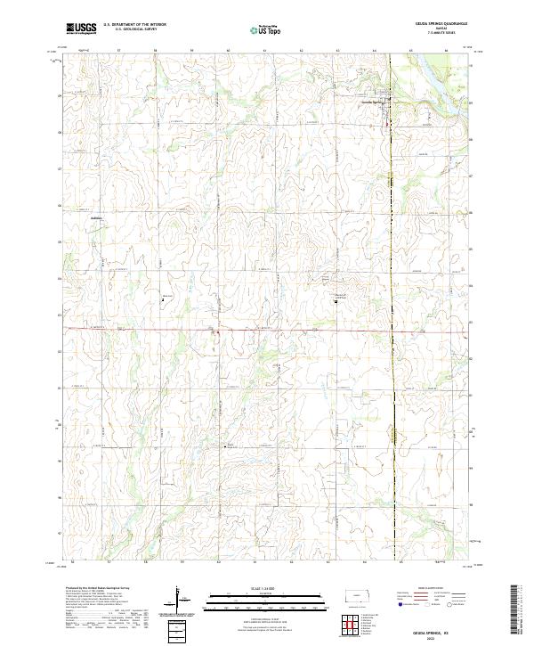
2022 Map of Geuda Springs
USGS Topo · Published 2022About this map
Geuda Springs and the small community of Ashton sit near the border of Sumner and Cowley counties, where the high plains begin their descent toward the Arkansas River. The landscape is defined by a dendritic network of streams, including Salt Creek, Chilocco Cr, and the various branches of Bitter Creek. This grid-dominated agricultural region maintains several small burial grounds that serve as vital links for genealogical research, such as Mount Hope Cem near the southern boundary and Work Cem to the west.
Find a feature on this map
48 named features on this map. Tap any name to fly to it.
Don’t see what you’re looking for? This feature index may not catch every label — zoom into the map to look around manually.
Map Details
Editions of this 2022 Geuda Springs Map
This is the sole edition of this map. No revisions or reprints were ever made.
Other maps of this area

1890 · Wellington
USGS Topo · 1:125,000

1955 · Wichita
USGS Topo · 1:250,000

1955 · Enid
USGS Topo · 1:250,000

1958 · Enid
USGS Topo · 1:250,000

1958 · Wichita
USGS Topo · 1:250,000

1964 · South Haven NE
USGS Topo · 1:24,000

1965 · Portland
USGS Topo · 1:24,000

1965 · Arkansas City
USGS Topo · 1:24,000

1965 · Adamsville
USGS Topo · 1:24,000

1965 · Geuda Springs
USGS Topo · 1:24,000