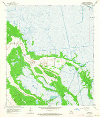
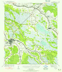
1963 Map of Gheens
USGS Topo · Published 1964About this map
Gheens serves as the central hub of this coastal Louisiana landscape, where the transition from cultivated land to expansive marsh is sharply defined by engineering. The settlement is anchored by St Anthony Ch and Gheens Ch, with a local Cem situated near the intersection of the primary roads. A sophisticated network of waterways dominates the region, including the massive Company Canal and the Sea Level Canal, which cut through the natural hydrology of Bayou Vacherie and Chateau de Cypres.
Find a feature on this map
22 named features on this map. Tap any name to fly to it.
Don’t see what you’re looking for? This feature index may not catch every label — zoom into the map to look around manually.
Map Details
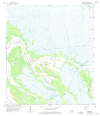
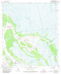
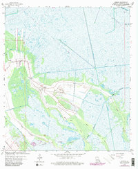
Editions of this 1963 Gheens Map
4 editions found
Other maps of this area

1891 · Hahnville
USGS Topo · 1:62,500

1892 · Lac Des Allemands
USGS Topo · 1:62,500

1892 · Cut-Off
USGS Topo · 1:62,500

1892 · Houma
USGS Topo · 1:62,500

1932 · Houma SE
USGS Topo · 1:31,680

1932 · Lac Des Allemands SE
USGS Topo · 1:31,680

1932 · Houma NE
USGS Topo · 1:31,680

1932 · Hahnville SW
USGS Topo · 1:31,680

1939 · Cut-Off
USGS Topo · 1:62,500
1939 · Houma
USGS Topo · 1:62,500