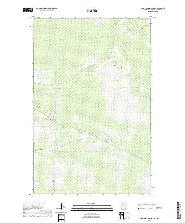
2022 Map of Giant Pine Campground
USGS Topo · Published 2022About this map
The S Fork Black River defines the drainage of this interior portion of Koochiching County, where the landscape is characterized by extensive wetlands and remote forestry access. Modern roads such as Toomey Williams Rd and Pine Island Rd provide the primary transit through these north-central Minnesota lowlands. This survey illustrates the rigid Public Land Survey System grid that governs the region, including portions of t157n r27w and t156n r27w. The absence of established settlements or structural landmarks highlights the area's role as a managed timber and wilderness resource.
Find a feature on this map
9 named features on this map. Tap any name to fly to it.
Don’t see what you’re looking for? This feature index may not catch every label — zoom into the map to look around manually.
Map Details
Editions of this 2022 Giant Pine Campground Map
This is the sole edition of this map. No revisions or reprints were ever made.
Other maps of this area

1919 · Lundgren
USGS Topo · 1:62,500

1919 · I
USGS Topo · 1:62,500

1919 · Margie
USGS Topo · 1:62,500

1943 · Lindford
USGS Topo · 1:62,500

1954 · Roseau
USGS Topo · 1:250,000

1954 · International Falls
USGS Topo · 1:250,000

1957 · Roseau
USGS Topo · 1:250,000

1957 · International Falls
USGS Topo · 1:250,000

1958 · International Falls
USGS Topo · 1:250,000

1958 · Roseau
USGS Topo · 1:250,000