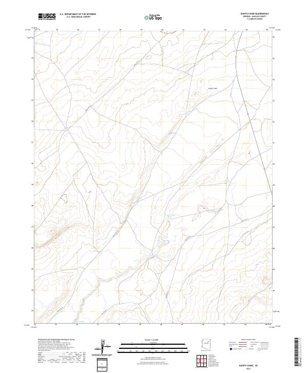
2021 Map of Giants Chair
USGS Topo · Published 2021About this map
Giants Chair stands as a prominent landmark in this high-desert reach of Navajo County, rising above a landscape defined by seasonal watercourses and essential watering holes. The drainage of Polacca Wash cuts through the southwestern corner of the quadrangle, serving as a primary hydrologic feature for the region. The map reveals a network of vital water sources, including Little Burro Spring, Rock Ledge Spring, and Coyote Spring, which historically dictated movement and settlement patterns in this arid environment.
Find a feature on this map
13 named features on this map. Tap any name to fly to it.
Don’t see what you’re looking for? This feature index may not catch every label — zoom into the map to look around manually.
Map Details
Editions of this 2021 Giants Chair Map
This is the sole edition of this map. No revisions or reprints were ever made.
Other maps of this area

1883 · Tusayan
USGS Topo · 1:250,000

1886 · Tusayan
USGS Topo · 1:250,000

1947 · Flagstaff
USGS Topo · 1:250,000

1954 · Flagstaff
USGS Topo · 1:250,000

1958 · Flagstaff
USGS Topo · 1:250,000

1960 · Flagstaff
USGS Topo · 1:250,000

1962 · Flagstaff
USGS Topo · 1:250,000

1966 · Oraibi
USGS Topo · 1:62,500

1966 · Egloffstein Butte
USGS Topo · 1:62,500

1966 · Tovar Mesa
USGS Topo · 1:62,500