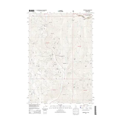
2013 Map of Gibbonsville
USGS Topo · Published 2013About this map
Gibbonsville sits along the N Fork Salmon River in this 2013 survey of the Idaho-Montana borderlands. The landscape is defined by the steep drainage patterns of the Salmon National Forest and Beaverhead National Forest, where numerous gulches testify to the area's prospecting history. Named features like Cyanide Gulch, Chinese Gulch, and Keystone Gulch suggest a legacy of mineral extraction and diverse labor, while the Continental Divide marks the high ridgeline separating Lemhi County from Montana. Transportation in this high-elevation terrain is restricted to river-valley corridors and forest routes such as Dahlonega Creek Rd. For those tracing local history, the map provides precise locations for the Twin Creek Campground and various named landmarks like Granite Mtn and Anderson Mtn that overlook the river valley.
Find a feature on this map
57 named features on this map. Tap any name to fly to it.
Don’t see what you’re looking for? This feature index may not catch every label — zoom into the map to look around manually.
Map Details
Editions of this 2013 Gibbonsville Map
This is the sole edition of this map. No revisions or reprints were ever made.
Other maps of this area

1955 · Dillon
USGS Topo · 1:250,000

1956 · Elk City
USGS Topo · 1:250,000

1957 · Dillon
USGS Topo · 1:250,000

1958 · Dillon
USGS Topo · 1:250,000

1960 · Elk City
USGS Topo · 1:250,000

1960 · Ulysses Mtn
USGS Topo · 1:62,500

1960 · Piquett Mountain
USGS Topo · 1:62,500

1962 · Dillon
USGS Topo · 1:250,000

1965 · Dillon
USGS Topo · 1:250,000

1966 · Lost Trail Pass
USGS Topo · 1:24,000