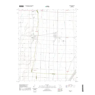
2017 Map of Gideon
USGS Topo · Published 2017About this map
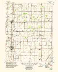
Agricultural patterns and a complex network of drainage canals define this 2017 survey of the Missouri Bootheel. The landscape is structured by significant water-management features like Main Ditch District Number 17 and Ditch Number 4, which dictate the placement of local roads and property boundaries. In the center of this network, the town of Clarkton is laid out on a grid that includes W Union St and E Commercial St, while Gideon sits to the east, adjacent to the Gideon Memorial Airport. Smaller family and community sites are scattered throughout the rural landscape, including Mount Gilead Cem, Oak Grove Cem, and Stanfield Cem. The map also captures the political boundaries where Dunklin Co meets New Madrid Co and Pemiscot Co, illustrating how these historical county lines intersect with the region's managed waterways.
Find a feature on this map
69 named features on this map. Tap any name to fly to it.
Don’t see what you’re looking for? This feature index may not catch every label — zoom into the map to look around manually.
Map Details
Editions of this 2017 Gideon Map
This is the sole edition of this map. No revisions or reprints were ever made.
Other maps of this area
1940 · Malden
USGS Topo · 1:62,500
1940 · Pascola
USGS Topo · 1:62,500
1940 · Valley Ridge
USGS Topo · 1:62,500
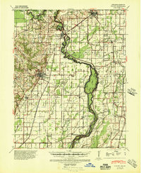
1940 · Piggott
USGS Topo · 1:62,500
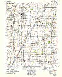
1955 · Pascola
USGS Topo · 1:62,500
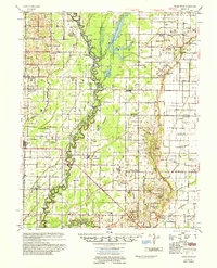
1956 · Valley Ridge
USGS Topo · 1:62,500
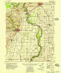
1956 · Piggott
USGS Topo · 1:62,500
1956 · Malden
USGS Topo · 1:62,500
1956 · Dyersburg
USGS Topo · 1:250,000

1957 · Poplar Bluff
USGS Topo · 1:250,000