Loading...
Loading map...2021 Map of Gideon
USGS Topo · Published 2021About this map
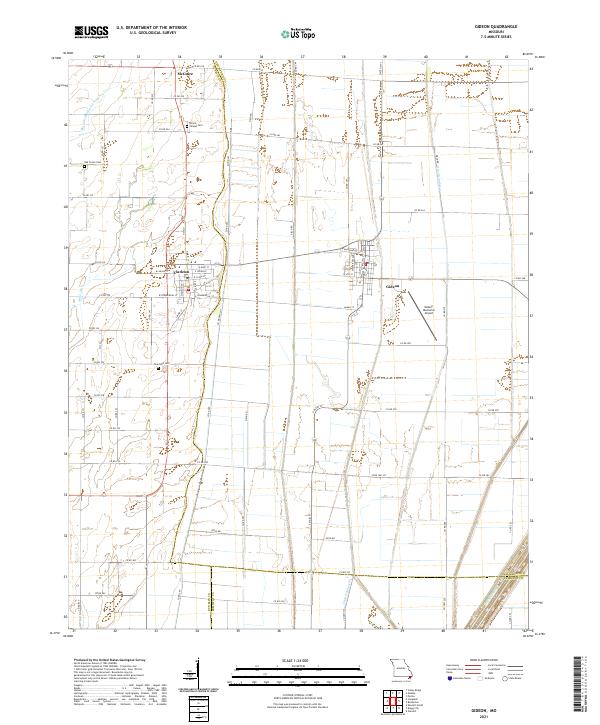
The low-lying plains of the Missouri Bootheel define this landscape, where the convergence of New Madrid, Pemiscot, and Dunklin counties meet amidst a complex network of drainage infrastructure. This area, historically reliant on the intensive engineering of the land, is crisscrossed by essential waterways such as Main Ditch District Number 17 and Ditch Number 4, which turned formerly swampy terrain into productive territory.
Find a feature on this map
71 named features on this map. Tap any name to fly to it.
Don’t see what you’re looking for? This feature index may not catch every label — zoom into the map to look around manually.
Map Details
Date Portrayed2021
Date Published2021
PublisherU.S. Geological Survey
Map TypeTopographic
Scale1:24000
Physical Dimensions24 x 29 inches
Editions of this 2021 Gideon Map
This is the sole edition of this map. No revisions or reprints were ever made.
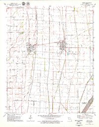
Historical Maps of Marlow Through Time
Featured Locations
Source Details
SourceU.S. Geological Survey
CopyrightPublic Domain