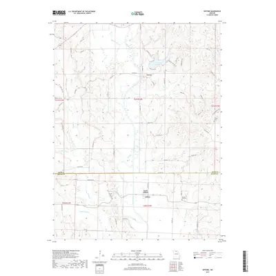
2017 Map of Gifford
USGS Topo · Published 2017About this map
The Chariton River meanders through this north Missouri landscape, serving as a primary geographic axis for the settlements of Gifford and South Gifford near the southern border and Yarrow to the north. These communities are linked by a network of winding roads and named tracks, including Yarrow Trl and Linderville Trl, which navigate the drainages of Sugar Cr and Little Walnut Cr.
Find a feature on this map
62 named features on this map. Tap any name to fly to it.
Don’t see what you’re looking for? This feature index may not catch every label — zoom into the map to look around manually.
Map Details
Editions of this 2017 Gifford Map
This is the sole edition of this map. No revisions or reprints were ever made.
Other maps of this area
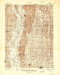
1937 · Elmer
USGS Topo · 1:48,000
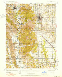
1938 · Kirksville
USGS Topo · 1:62,500
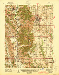
1940 · Kirksville
USGS Topo · 1:62,500
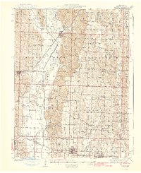
1942 · Elmer
USGS Topo · 1:62,500
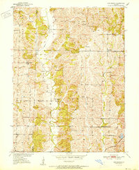
1951 · New Boston
USGS Topo · 1:24,000
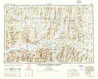
1953 · Moberly
USGS Topo · 1:250,000

1954 · Centerville
USGS Topo · 1:250,000
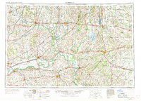
1954 · Moberly
USGS Topo · 1:250,000
1957 · Moberly
USGS Topo · 1:250,000
1957 · Centerville
USGS Topo · 1:250,000