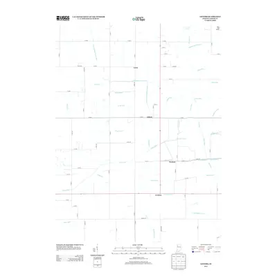
2013 Map of Gifford
USGS Topo · Published 2013About this map
Gifford and the surrounding rural landscape of Jasper County are defined by an intricate network of drainage engineered to support agriculture in this low-lying region. Small settlements like Lewiston, Newland, and Laura are spaced along a grid of county roads, connected by long straight stretches such as Division Rd. The land is heavily inscribed with water management features, including the Stalbaum Hershman Ditch and the Iliff Slough Lateral, which channel water away from the fields toward larger tributaries. This hydraulic architecture reveals the concerted effort required to maintain the productivity of the local soil. In the northeast corner, the whimsical name of Alley Oop Airport stands out against the more functional nomenclature of the ditches and laterals, such as Griggs Ditch and Ryan Ditch, that dominate the topography of this agricultural heartland.
Find a feature on this map
52 named features on this map. Tap any name to fly to it.
Don’t see what you’re looking for? This feature index may not catch every label — zoom into the map to look around manually.
Map Details
Editions of this 2013 Gifford Map
This is the sole edition of this map. No revisions or reprints were ever made.
Other maps of this area

1953 · Chicago
USGS Topo · 1:250,000

1953 · Danville
USGS Topo · 1:250,000

1955 · Danville
USGS Topo · 1:250,000

1956 · Danville
USGS Topo · 1:250,000

1957 · Chicago
USGS Topo · 1:250,000

1957 · Wheatfield
USGS Topo · 1:24,000

1957 · DeMotte
USGS Topo · 1:24,000

1959 · San Pierre
USGS Topo · 1:24,000

1962 · Medaryville
USGS Topo · 1:24,000

1962 · Gifford
USGS Topo · 1:24,000