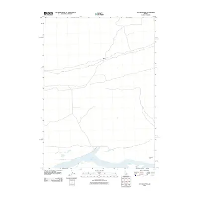
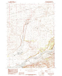
2010 Map of Gifford Spring
USGS Topo · Published 2010About this map
Lake Walcott dominates the southern edge of this Idaho landscape, where the waters of the Snake River are held in a wide basin. The terrain is defined by its isolation and the stark infrastructure required to navigate it, characterized by the remote settlement of Wapi situated along the northern tracks. This 2010 survey shows a network of desert routes, including Wapi Rd and W Lake Channel Rd, which provide access to the riverbank and the distinct shoreline features like Bonanza Bar and Tule Island. The map illustrates a transitional environment where the managed water of the reservoir meets the high desert, providing a clear record of the access points and named landmarks used by local travelers and water managers in this portion of Cassia County.
Find a feature on this map
6 named features on this map. Tap any name to fly to it.
Don’t see what you’re looking for? This feature index may not catch every label — zoom into the map to look around manually.
Map Details
Editions of this 2010 Gifford Spring Map
This is the sole edition of this map. No revisions or reprints were ever made.
Other maps of this area

1954 · Pocatello
USGS Topo · 1:250,000

1958 · Pocatello
USGS Topo · 1:250,000

1959 · Lake Walcott
USGS Topo · 1:62,500

1959 · Yale
USGS Topo · 1:62,500

1972 · Schodde Well
USGS Topo · 1:24,000
1972 · Rattlesnake Butte
USGS Topo · 1:24,000
1972 · Pillar Butte SE
USGS Topo · 1:24,000
1984 · Gifford Spring
USGS Topo · 1:24,000
1984 · Register Rock
USGS Topo · 1:24,000

1984 · North Chapin Mountain
USGS Topo · 1:24,000