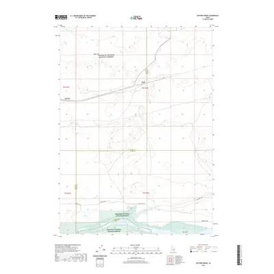
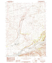
2020 Map of Gifford Spring
USGS Topo · Published 2020About this map
The Oregon Trail cuts across this Snake River Plain landscape, marking the historic southern migration route as it nears the waters of Lake Walcott. The terrain is defined by the stark volcanic features of the Wapi Flow and the southern reaches of the Craters of the Moon National Preserve. Near the rail line, the small settlements of Wapi and DeWoff sit on the edge of these lava fields, representing the sparse homesteading and railroad history of the region.
Find a feature on this map
17 named features on this map. Tap any name to fly to it.
Don’t see what you’re looking for? This feature index may not catch every label — zoom into the map to look around manually.
Map Details
Editions of this 2020 Gifford Spring Map
This is the sole edition of this map. No revisions or reprints were ever made.
Other maps of this area

1954 · Pocatello
USGS Topo · 1:250,000

1958 · Pocatello
USGS Topo · 1:250,000

1959 · Lake Walcott
USGS Topo · 1:62,500

1959 · Yale
USGS Topo · 1:62,500

1972 · Schodde Well
USGS Topo · 1:24,000
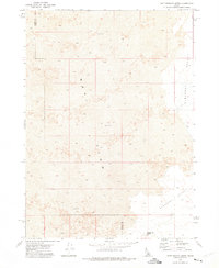
1972 · Rattlesnake Butte
USGS Topo · 1:24,000
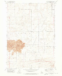
1972 · Pillar Butte SE
USGS Topo · 1:24,000
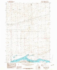
1984 · Gifford Spring
USGS Topo · 1:24,000
1984 · Register Rock
USGS Topo · 1:24,000

1984 · North Chapin Mountain
USGS Topo · 1:24,000