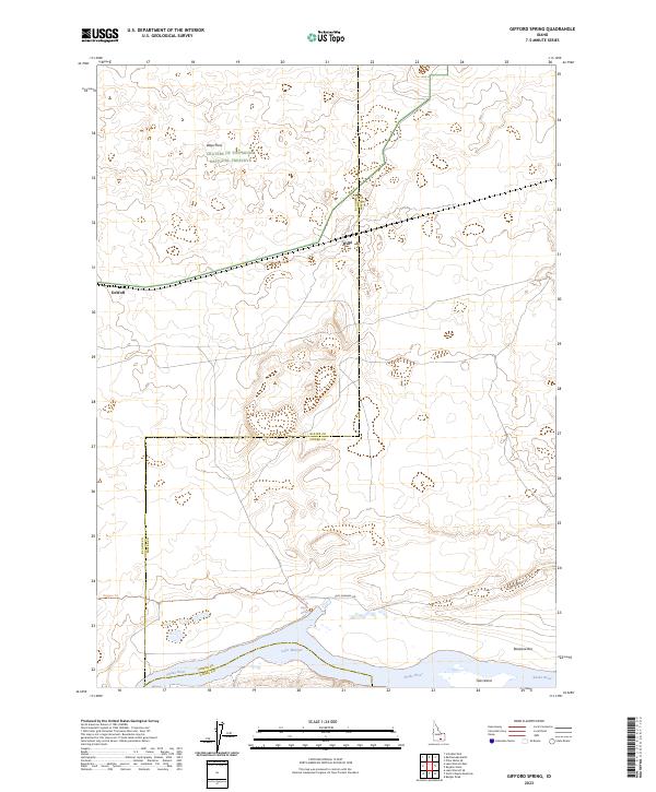
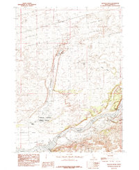
2023 Map of Gifford Spring
USGS Topo · Published 2023About this map
Craters of the Moon National Preserve and the southern reach of the Wapi Flow dominate the northern landscape of this Idaho quadrangle, where volcanic terrain meets the irrigation-dependent lands of the Snake River Plain. The map captures a critical transition where the high desert basalt flows descend toward the waters of Lake Walcott and the Snake River. This area is steeped in transit history, marked by the alignment of the Oregon Trl as it moves westward south of the lava fields. Small sidings or settlements like Wapi and DeWoff reflect the rail-and-ranching legacy of Power County. Along the river, features such as Gifford Spring, Tule Island, and Bonanza Bar indicate a complex shoreline managed within the Minidoka National Wildlife Refuge, where the desert environment is transformed by the presence of the reservoir and historical river channels like Lake Channel Rd.
Find a feature on this map
18 named features on this map. Tap any name to fly to it.
Don’t see what you’re looking for? This feature index may not catch every label — zoom into the map to look around manually.
Map Details
Editions of this 2023 Gifford Spring Map
This is the sole edition of this map. No revisions or reprints were ever made.
Other maps of this area

1954 · Pocatello
USGS Topo · 1:250,000

1958 · Pocatello
USGS Topo · 1:250,000

1959 · Lake Walcott
USGS Topo · 1:62,500

1959 · Yale
USGS Topo · 1:62,500

1972 · Schodde Well
USGS Topo · 1:24,000
1972 · Rattlesnake Butte
USGS Topo · 1:24,000
1972 · Pillar Butte SE
USGS Topo · 1:24,000
1984 · Gifford Spring
USGS Topo · 1:24,000
1984 · Register Rock
USGS Topo · 1:24,000

1984 · North Chapin Mountain
USGS Topo · 1:24,000