2022 Map of Gift
USGS Topo · Published 2022About this map
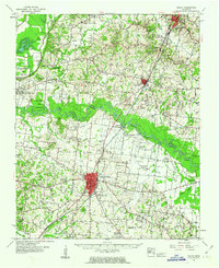
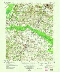
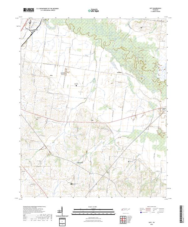
The Hatchie River forms a complex, winding boundary between Lauderdale and Tipton counties, defining a landscape of low-lying wetlands and intricate watercourses like Hoopen Slough and Cotton Lake. This 2022 survey captures the rural character of the region, where small named communities such as Gift, Solo, and Tabernacle are connected by a network of local roads like Antioch Cotton Lake Rd and Wakefield Ln. For genealogists and local historians, the map is a dense record of family and community landmarks, featuring numerous burial sites including Plummers Grove Cem, Marrows Cem, and the Sharpe Memorial Gardens. The northern portion of the map is dominated by the sprawling wetlands of the river valley, while the southern half shows more structured land use around the Covington Municipal Airport and the outskirts of Covington.
Find a feature on this map
72 named features on this map. Tap any name to fly to it.
Don’t see what you’re looking for? This feature index may not catch every label — zoom into the map to look around manually.
Map Details
Editions of this 2022 Gift Map
This is the sole edition of this map. No revisions or reprints were ever made.
Historical Maps of Antioch Through Time
7 maps found