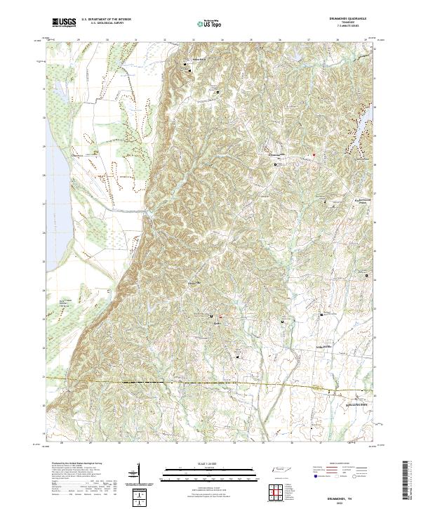
2022 Map of Drummonds
USGS Topo · Published 2022About this map
Mississippi River bottomlands and the rising bluffs of western Tennessee define this landscape near the Tipton and Shelby County line. The transition from the alluvial plain to the higher dissected terrain is marked by a network of drainage features like Bear Cr and Bridge Slough, which give way to the upland settlements of Drummonds, Quito, and Dixonville. This area is characterized by its numerous small-scale burial sites and family plots, reflecting a deeply rooted local genealogy through features such as the Sanders Williams Family Cem, Byrd Burial Ground, and the Poplar Grove Cem.
Find a feature on this map
115 named features on this map. Tap any name to fly to it.
Don’t see what you’re looking for? This feature index may not catch every label — zoom into the map to look around manually.
Map Details
Editions of this 2022 Drummonds Map
This is the sole edition of this map. No revisions or reprints were ever made.
Other maps of this area

1931 · Jericho
USGS Topo · 1:62,500

1939 · Jericho
USGS Topo · 1:62,500

1939 · Evadale
USGS Topo · 1:62,500

1942 · Millington
USGS Topo · 1:62,500

1952 · Jericho
USGS Topo · 1:62,500

1953 · Memphis
USGS Topo · 1:250,000

1956 · Evadale
USGS Topo · 1:62,500

1956 · Memphis
USGS Topo · 1:250,000

1956 · Blytheville
USGS Topo · 1:250,000

1959 · Blytheville
USGS Topo · 1:250,000