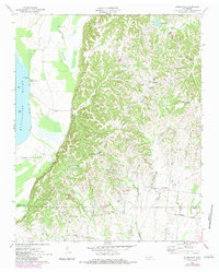
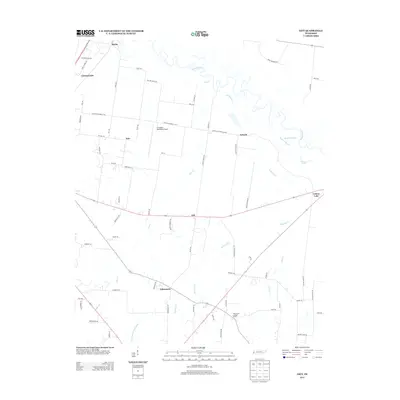
1972 Map of Gift
USGS Topo · Published 1983About this map
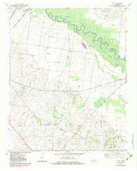
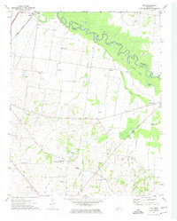
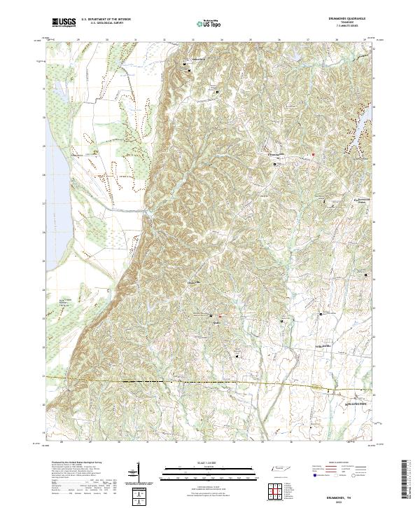
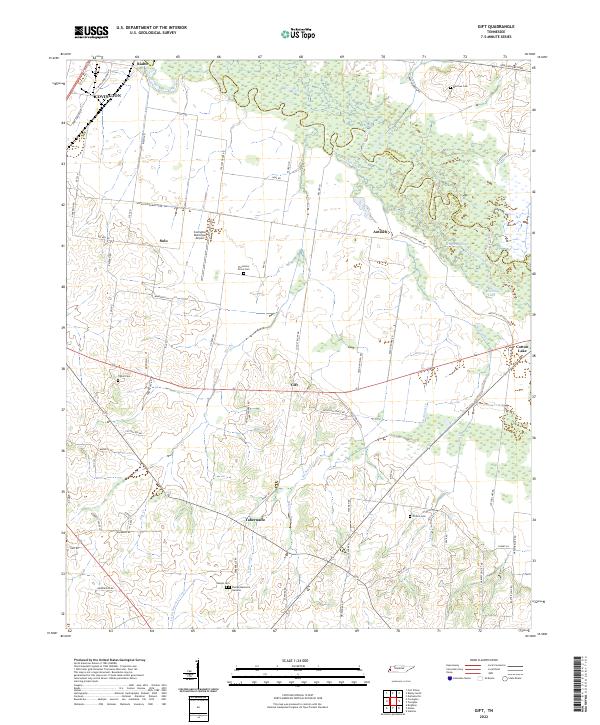
The Hatchie River meanders across the northern portion of this Tipton County landscape, defining the boundary with Lauderdale County. The terrain transitions from the river bottomlands near Hogpen Slough and Cotton Lake to a dense network of upland rural communities and agricultural tracts. This 1970s environment is punctuated by numerous small country houses of worship, such as Willow Grove Ch and Plummers Grove Ch, which often stand as the primary landmarks for local neighborhoods like Gift and Solo.
Find a feature on this map
34 named features on this map. Tap any name to fly to it.
Don’t see what you’re looking for? This feature index may not catch every label — zoom into the map to look around manually.
Map Details
Editions of this 1972 Gift Map
2 editions found
Historical Maps of Covington Through Time
15 maps found
1961 Rialto
Tipton County, TN
1962 Rialto
Tipton County, TN
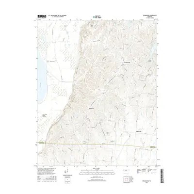
1970 Drummonds
Tipton County, TN
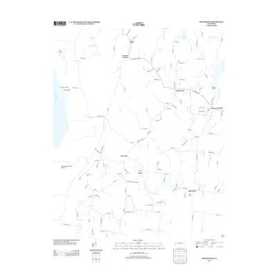
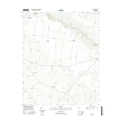
1972 Gift
Tipton County, TN
1977 Rialto
Tipton County, TN
2010 Drummonds
Tipton County, TN
2010 Gift
Tipton County, TN
2013 Drummonds
Tipton County, TN
2013 Gift
Tipton County, TN
2016 Drummonds
Tipton County, TN
2016 Gift
Tipton County, TN
2019 Drummonds
Tipton County, TN
2019 Gift
Tipton County, TN
2022 Drummonds
Tipton County, TN
2022 Gift
Tipton County, TN