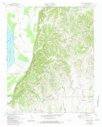
1970 Map of Drummonds
USGS Topo · Published 1983About this map
The Mississippi River defines the western edge of this Tipton County landscape, where the floodplain meets the dissected uplands of West Tennessee. Along the river, Cedar Point Landing and Sigler Island No 36 sit adjacent to the Densford Revetment, showing the engineered efforts to manage the shifting waterway. Moving inland, the terrain is defined by a dense network of drainages including Hurricane Creek and Quito Creek which carve through the wooded hills.
Find a feature on this map
42 named features on this map. Tap any name to fly to it.
Don’t see what you’re looking for? This feature index may not catch every label — zoom into the map to look around manually.
Map Details
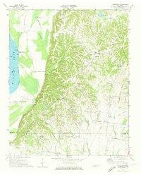
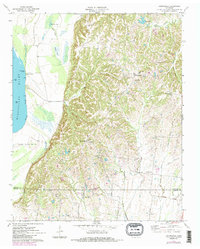
Editions of this 1970 Drummonds Map
3 editions found
Other maps of this area

1931 · Jericho
USGS Topo · 1:62,500

1939 · Jericho
USGS Topo · 1:62,500

1939 · Evadale
USGS Topo · 1:62,500

1942 · Millington
USGS Topo · 1:62,500

1952 · Jericho
USGS Topo · 1:62,500

1953 · Memphis
USGS Topo · 1:250,000

1956 · Evadale
USGS Topo · 1:62,500

1956 · Memphis
USGS Topo · 1:250,000

1956 · Blytheville
USGS Topo · 1:250,000

1959 · Blytheville
USGS Topo · 1:250,000