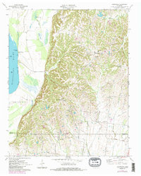
1970 Map of Drummonds
USGS Topo · Published 1983About this map
The Mississippi River defines the western edge of this landscape, its shifting course marked by river miles and the Densford Revetment. To the east, the terrain rises into the bluffs and hills where small Tennessee communities like Drummonds and Dixonville are established. This 1970s-era geography shows a network of country roads and drainage patterns, including the Royster Creek Drainage Canal, which supported the local agricultural economy. Genealogists and local historians will find significant detail in the placement of rural institutions, such as Poplar Grove Cem, St Marks Ch, and the Drummonds Sch. The map also captures the transition from the river bottomlands at Cedar Point Landing to the higher elevations of the interior, where the county line separates Tipton and Shelby counties.
Find a feature on this map
40 named features on this map. Tap any name to fly to it.
Don’t see what you’re looking for? This feature index may not catch every label — zoom into the map to look around manually.
Map Details
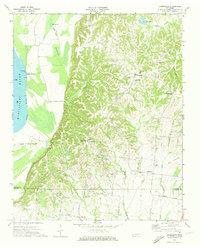
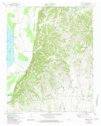
Editions of this 1970 Drummonds Map
3 editions found
Other maps of this area

1931 · Jericho
USGS Topo · 1:62,500

1939 · Jericho
USGS Topo · 1:62,500

1939 · Evadale
USGS Topo · 1:62,500

1942 · Millington
USGS Topo · 1:62,500

1952 · Jericho
USGS Topo · 1:62,500

1953 · Memphis
USGS Topo · 1:250,000

1956 · Evadale
USGS Topo · 1:62,500

1956 · Memphis
USGS Topo · 1:250,000

1956 · Blytheville
USGS Topo · 1:250,000

1959 · Blytheville
USGS Topo · 1:250,000