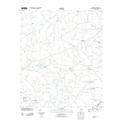
2011 Map of Gilbert
USGS Topo · Published 2011About this map
Gilbert and Summit anchor this southern South Carolina landscape, which transitions from the edges of Lake Murray in the north to a dense network of ponds and creeks in the south. The area is defined by its rural heritage, preserved through numerous family and community burial grounds including Old Salem Cemetery, Derrick Cemetery, and the Shiloh Cemetery. The settlement pattern follows historical routes connecting small hubs like Priceville, Murray, and Clubhouse Crossroads, while the Gilbert Post Office remains a central landmark for the local community.
Find a feature on this map
177 named features on this map. Tap any name to fly to it.
Don’t see what you’re looking for? This feature index may not catch every label — zoom into the map to look around manually.
Map Details
Editions of this 2011 Gilbert Map
This is the sole edition of this map. No revisions or reprints were ever made.
Other maps of this area

1904 · Columbia
USGS Topo · 1:125,000

1941 · Spartanburg
USGS Topo · 1:250,000

1944 · Gilbert
USGS Topo · 1:62,500

1953 · Spartanburg
USGS Topo · 1:250,000

1954 · Augusta
USGS Topo · 1:250,000

1957 · Augusta
USGS Topo · 1:250,000

1958 · Augusta
USGS Topo · 1:250,000

1960 · Spartanburg
USGS Topo · 1:250,000

1961 · Augusta
USGS Topo · 1:250,000

1962 · Augusta
USGS Topo · 1:250,000