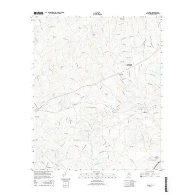
2017 Map of Gilbert
USGS Topo · Published 2017About this map
Gilbert and the neighboring community of Summit serve as the primary hubs in this part of Lexington County, where the landscape is defined by a dense network of local roads and water-driven history. The area exhibits a pattern of small rural settlements like Fredonia and Priceville interspersed with numerous family and community landmarks. Genealogists will find several notable burial grounds, including the Old Salem Cem and Derrick Cem. The local economy and recreation are tied to water features such as Twelvemile Creek and Taylor Millpond, while aviation is represented by The Farm Airport and Gilbert International Airpark. This geography is further articulated by many smaller tributaries like Lightwood Knot Cr and Rocky Ford Cr, which have shaped the placement of farmsteads and crossings like Clubhouse Crossroads.
Find a feature on this map
134 named features on this map. Tap any name to fly to it.
Don’t see what you’re looking for? This feature index may not catch every label — zoom into the map to look around manually.
Map Details
Editions of this 2017 Gilbert Map
This is the sole edition of this map. No revisions or reprints were ever made.
Other maps of this area

1904 · Columbia
USGS Topo · 1:125,000

1941 · Spartanburg
USGS Topo · 1:250,000

1944 · Gilbert
USGS Topo · 1:62,500

1953 · Spartanburg
USGS Topo · 1:250,000

1954 · Augusta
USGS Topo · 1:250,000

1957 · Augusta
USGS Topo · 1:250,000

1958 · Augusta
USGS Topo · 1:250,000

1960 · Spartanburg
USGS Topo · 1:250,000

1961 · Augusta
USGS Topo · 1:250,000

1962 · Augusta
USGS Topo · 1:250,000