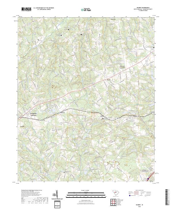
2024 Map of Gilbert
USGS Topo · Published 2024About this map
Summit and Gilbert serve as central nodes in this Lexington County landscape, where the geography is defined by a dense network of creeks and named ponds. The drainage of Hollow Creek and Horse Creek characterizes the northern terrain, while the south is marked by smaller basins like Shealy Pond and Oswalds Pond. This modern survey reveals a community deeply rooted in its local history, evidenced by numerous burial sites and sanctuaries such as the Old Salem Church and the Derrick Cem. Local aviation is represented by The Farm Airport and the Gilbert International Airpark, suggesting a persistent rural character despite the growth surrounding the Batesburg-Leesville corridor. From the crossroad at Clubhouse Crossroads to the quiet reaches of Lightwood Knot, the map illustrates a transition from established small-town centers to the family-named landmarks and winding secondary roads typical of South Carolina's interior.
Find a feature on this map
235 named features on this map. Tap any name to fly to it.
Don’t see what you’re looking for? This feature index may not catch every label — zoom into the map to look around manually.
Map Details
Editions of this 2024 Gilbert Map
This is the sole edition of this map. No revisions or reprints were ever made.
Other maps of this area

1904 · Columbia
USGS Topo · 1:125,000

1941 · Spartanburg
USGS Topo · 1:250,000

1944 · Gilbert
USGS Topo · 1:62,500

1953 · Spartanburg
USGS Topo · 1:250,000

1954 · Augusta
USGS Topo · 1:250,000

1957 · Augusta
USGS Topo · 1:250,000

1958 · Augusta
USGS Topo · 1:250,000

1960 · Spartanburg
USGS Topo · 1:250,000

1961 · Augusta
USGS Topo · 1:250,000

1962 · Augusta
USGS Topo · 1:250,000