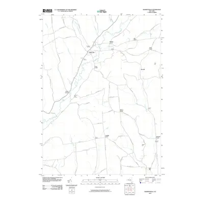
2010 Map of Gilbertsville
USGS Topo · Published 2010About this map
Butternut Creek meanders through the heart of the landscape, defining the rural character of this region of Otsego County. The settlement of Gilbertsville stands as a primary focal point, surrounded by a network of smaller named crossroads and family-held corners like Copes Corner, Frone Corner, and Heslops Corner. The map captures an area defined by long-established agricultural boundaries and tributary waters such as Dunderberg Creek and Cahoon Creek, illustrating how the early road system followed the contours of the valley floor.
Find a feature on this map
74 named features on this map. Tap any name to fly to it.
Don’t see what you’re looking for? This feature index may not catch every label — zoom into the map to look around manually.
Map Details
Editions of this 2010 Gilbertsville Map
This is the sole edition of this map. No revisions or reprints were ever made.
Other maps of this area

1910 · Hartwick
USGS Topo · 1:62,500

1910 · New Berlin
USGS Topo · 1:62,500

1912 · New Berlin
USGS Topo · 1:62,500

1912 · Hartwick
USGS Topo · 1:62,500

1915 · Oneonta
USGS Topo · 1:62,500

1915 · Unadilla
USGS Topo · 1:62,500

1918 · Unadilla
USGS Topo · 1:62,500

1918 · Oneonta
USGS Topo · 1:62,500

1943 · Sidney
USGS Topo · 1:24,000

1943 · New Berlin South
USGS Topo · 1:24,000