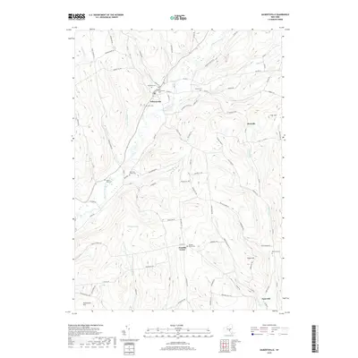
2019 Map of Gilbertsville
USGS Topo · Published 2019About this map
Butternut Creek carves a deep valley through this Otsego County landscape, serving as the central axis for the village of Gilbertsville. This area is particularly dense with genealogical sites, featuring a high concentration of burial grounds such as Brookside Cem, Old Churchyard Cem, and Hollis Cem clustered near the village center. The map reveals a rural economy organized around the drainage of several tributaries, including Dunderberg Cr and Coye Brook, which feed into the main valley.
Find a feature on this map
76 named features on this map. Tap any name to fly to it.
Don’t see what you’re looking for? This feature index may not catch every label — zoom into the map to look around manually.
Map Details
Editions of this 2019 Gilbertsville Map
This is the sole edition of this map. No revisions or reprints were ever made.
Other maps of this area

1910 · Hartwick
USGS Topo · 1:62,500

1910 · New Berlin
USGS Topo · 1:62,500

1912 · New Berlin
USGS Topo · 1:62,500

1912 · Hartwick
USGS Topo · 1:62,500

1915 · Oneonta
USGS Topo · 1:62,500

1915 · Unadilla
USGS Topo · 1:62,500

1918 · Unadilla
USGS Topo · 1:62,500

1918 · Oneonta
USGS Topo · 1:62,500

1943 · Sidney
USGS Topo · 1:24,000

1943 · New Berlin South
USGS Topo · 1:24,000