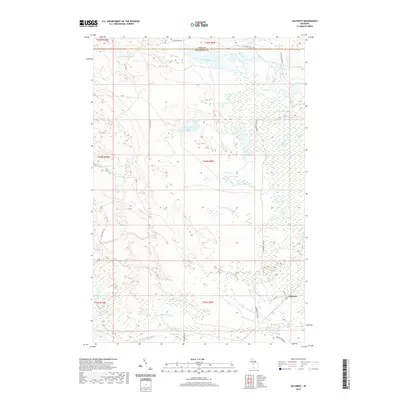
2019 Map of Gilchrist
USGS Topo · Published 2019About this map
Gilchrist serves as the primary point of settlement in this northern Michigan landscape, situated at the intersection of Lake Rd and Fisher. The surrounding terrain is characterized by an extensive network of wetlands and inland water bodies, including the significant Cranberry Lake Bog and isolated basins like Dollar Lake and Lake Louise. The geography is defined by the headwaters of several drainages, such as N Br Gold Cr and Threemile Cr, which flow through the forested lowlands.
Find a feature on this map
37 named features on this map. Tap any name to fly to it.
Don’t see what you’re looking for? This feature index may not catch every label — zoom into the map to look around manually.
Map Details
Editions of this 2019 Gilchrist Map
This is the sole edition of this map. No revisions or reprints were ever made.
Other maps of this area

1931 · Gould City NE
USGS Topo · 1:31,680

1931 · Gould City SE
USGS Topo · 1:31,680

1931 · Gilchrist NE
USGS Topo · 1:31,680

1931 · Gilchrist NW
USGS Topo · 1:31,680

1954 · Sault Sainte Marie
USGS Topo · 1:250,000

1956 · Sault Sainte Marie
USGS Topo · 1:250,000

1957 · Sault Sainte Marie
USGS Topo · 1:250,000

1958 · Sault Sainte Marie
USGS Topo · 1:250,000
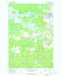
1973 · Newberry
USGS Topo · 1:24,000
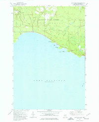
1973 · Hog Island Point
USGS Topo · 1:24,000