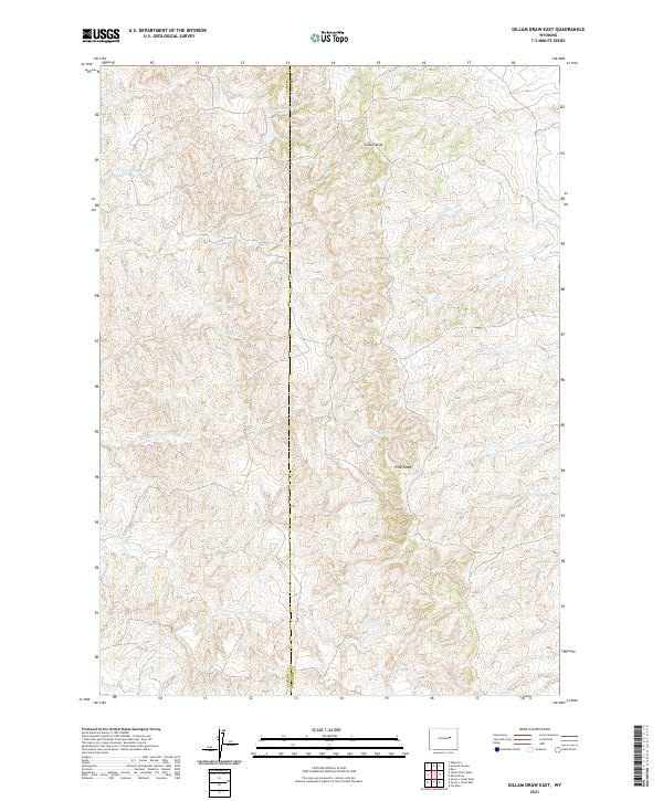
2021 Map of Gillam Draw East
USGS Topo · Published 2021About this map
Pine Ridge dominates the central portion of this 2021 survey, serving as a prominent geographical divider in the high plains of central Wyoming. The landscape is defined by an intricate network of drainage systems, most notably Big Bull Cedar Cr and its counterpart Little Bull Cedar Cr, which carve through the undulating terrain. This map captures the administrative boundary where Natrona and Converse Counties meet, a line that bisects the watershed of Cottonwood Cr to the north and Salt Cr to the south. The absence of modern built infrastructure highlights a region primarily shaped by natural topography and seasonal watercourses such as Gillam Draw and Antelope Cr, providing a clear record of the area's physical geography in the early 21st century.
Find a feature on this map
13 named features on this map. Tap any name to fly to it.
Don’t see what you’re looking for? This feature index may not catch every label — zoom into the map to look around manually.
Map Details
Editions of this 2021 Gillam Draw East Map
This is the sole edition of this map. No revisions or reprints were ever made.
Other maps of this area

1955 · Newcastle
USGS Topo · 1:250,000

1955 · Arminto
USGS Topo · 1:250,000

1958 · Arminto
USGS Topo · 1:250,000

1958 · Newcastle
USGS Topo · 1:250,000

1959 · Fifty-Five Ranch
USGS Topo · 1:62,500

1959 · Edgerton
USGS Topo · 1:62,500

1959 · Ormsby Draw
USGS Topo · 1:62,500

1960 · Ross
USGS Topo · 1:62,500

1962 · Arminto
USGS Topo · 1:250,000

1979 · Bill
USGS Topo · 1:100,000