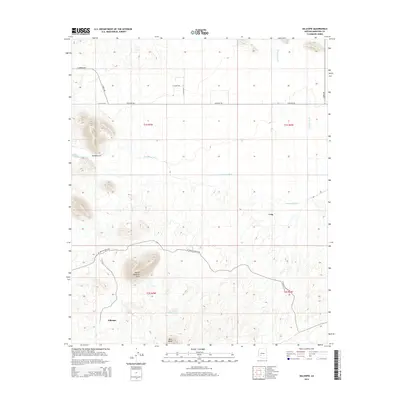
2014 Map of Gillespie
USGS Topo · Published 2014About this map
The Yellow Medicine Hills rise prominently in the southern portion of this landscape, anchoring a region defined by arid drainages and sparse settlements. Near the base of these heights lies Gillespie, while the smaller site of Crag is situated to the northeast. The land is carved by the broad Centennial Wash, which trends across the central section of the quadrangle, joined further north by Winters Wash.
Find a feature on this map
19 named features on this map. Tap any name to fly to it.
Don’t see what you’re looking for? This feature index may not catch every label — zoom into the map to look around manually.
Map Details
Editions of this 2014 Gillespie Map
This is the sole edition of this map. No revisions or reprints were ever made.
Other maps of this area
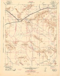
1942 · Vicksburg
USGS Topo · 1:250,000
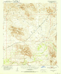
1951 · Dendora Valley
USGS Topo · 1:62,500
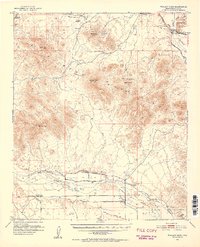
1951 · Woolsey Peak
USGS Topo · 1:62,500
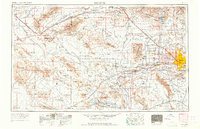
1954 · Phoenix
USGS Topo · 1:250,000
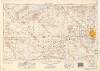
1957 · Phoenix
USGS Topo · 1:250,000
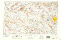
1958 · Phoenix
USGS Topo · 1:250,000
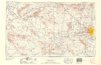
1960 · Phoenix
USGS Topo · 1:250,000
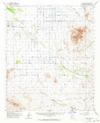
1962 · Cortez Peak
USGS Topo · 1:62,500
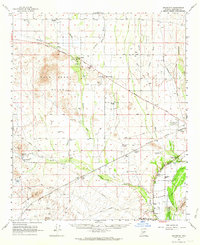
1962 · Arlington
USGS Topo · 1:62,500
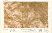
1969 · Phoenix
USGS Topo · 1:250,000