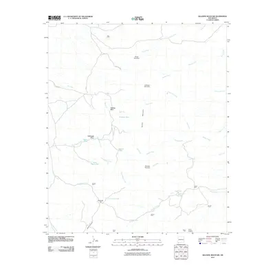
2010 Map of Gillespie Mountain
USGS Topo · Published 2010About this map
The Animas Mountains dominate this high-desert landscape in Hidalgo County, where water is the primary architect of human settlement. Named locations like Yarbrough Place, Upshaw Place, and Henrys Cabin are scattered across the terrain, often positioned near vital water sources such as Gillespie Tank or Pigpen Tank. The distribution of these ranching outposts and named flats, including Maverick Flat, reflects a sparse but organized system of land use dependent on seasonal drainages like Bull Creek and Gillespie Creek.
Find a feature on this map
35 named features on this map. Tap any name to fly to it.
Don’t see what you’re looking for? This feature index may not catch every label — zoom into the map to look around manually.
Map Details
Editions of this 2010 Gillespie Mountain Map
This is the sole edition of this map. No revisions or reprints were ever made.
Other maps of this area

1918 · Walnut Wells
USGS Topo · 1:62,500

1918 · Playas
USGS Topo · 1:62,500

1918 · Animas Peak
USGS Topo · 1:62,500

1918 · Pratt
USGS Topo · 1:62,500

1919 · Pratt
USGS Topo · 1:62,500

1919 · Playas
USGS Topo · 1:62,500

1920 · Animas Peak
USGS Topo · 1:62,500

1923 · Walnut Wells
USGS Topo · 1:62,500

1955 · Douglas
USGS Topo · 1:250,000

1959 · Douglas
USGS Topo · 1:250,000