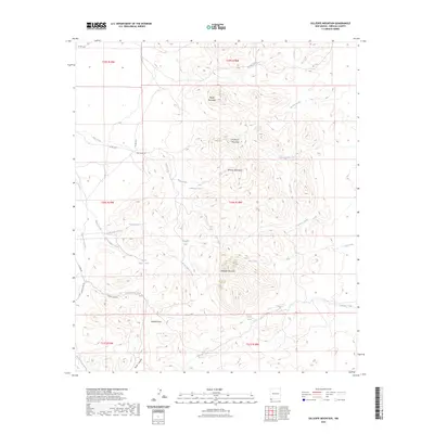
2023 Map of Gillespie Mountain
USGS Topo · Published 2023About this map
Gillespie Mountain and the surrounding Animas Mountains define this high-desert landscape in southwestern New Mexico. This region is characterized by an extensive network of ephemeral drainages and vital water points, including Gillespie Spring, Juniper Spring, and numerous catchment basins like Gillespie Tank and Pigpen Tank. The terrain transitions from the prominent peaks of Anderson Mountain and Rough Mountain down to the broad expanse of Maverick Flat. Ranching and land management infrastructure is evident through the naming of localized camps and tracks, such as Adobe Camp Rd and Godfrey Camp Rd, which navigate the complex topography of Wolf Canyon and the various branches of Pigpen Creek.
Find a feature on this map
38 named features on this map. Tap any name to fly to it.
Don’t see what you’re looking for? This feature index may not catch every label — zoom into the map to look around manually.
Map Details
Editions of this 2023 Gillespie Mountain Map
This is the sole edition of this map. No revisions or reprints were ever made.
Other maps of this area

1918 · Walnut Wells
USGS Topo · 1:62,500

1918 · Playas
USGS Topo · 1:62,500

1918 · Animas Peak
USGS Topo · 1:62,500

1918 · Pratt
USGS Topo · 1:62,500

1919 · Pratt
USGS Topo · 1:62,500

1919 · Playas
USGS Topo · 1:62,500

1920 · Animas Peak
USGS Topo · 1:62,500

1923 · Walnut Wells
USGS Topo · 1:62,500

1955 · Douglas
USGS Topo · 1:250,000

1959 · Douglas
USGS Topo · 1:250,000