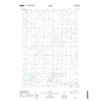
2018 Map of Gillett
USGS Topo · Published 2018About this map
The city of Gillett and the village of Suring anchor this Oconto County landscape, which is defined by a glacial topography of scattered lakes and winding watercourses. Significant water bodies like Christie Lake and Savage Lake are found near the southern town center, while Benz Lake and Klaus Lake dot the rural areas to the north. The drainage pattern of Daly Cr and Christie Brook flows through the township toward the Oconto River in the southeast corner.
Find a feature on this map
72 named features on this map. Tap any name to fly to it.
Don’t see what you’re looking for? This feature index may not catch every label — zoom into the map to look around manually.
Map Details
Editions of this 2018 Gillett Map
This is the sole edition of this map. No revisions or reprints were ever made.
Other maps of this area

1941 · Coleman
USGS Topo · 1:48,000

1942 · Coleman
USGS Topo · 1:48,000

1942 · Breed
USGS Topo · 1:48,000

1950 · Coleman
USGS Topo · 1:48,000

1952 · Mountain
USGS Topo · 1:48,000

1954 · Iron Mountain
USGS Topo · 1:250,000

1955 · Green Bay
USGS Topo · 1:250,000

1956 · Gillett
USGS Topo · 1:62,500

1956 · Oconto Falls
USGS Topo · 1:62,500

1959 · Iron Mountain
USGS Topo · 1:250,000