Loading...
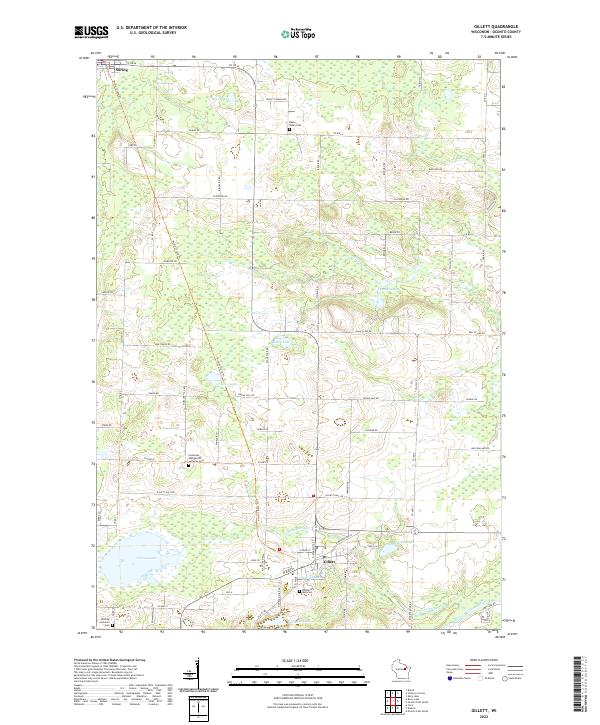
Loading map...2022 Map of Gillett
USGS Topo · Published 2022About this map
Gillett and Suring serve as the primary hubs in this Oconto County landscape, connected by the historical corridor of the Nicolet State Trl. The map reveals a dense network of local cemeteries that anchor the rural community, including Maple Valley Cem and Wanderer's Rest Cem. These sites, often situated near township lines like t29n r18e and t28n r18e, provide valuable touchpoints for genealogical research.
Find a feature on this map
76 named features on this map. Tap any name to fly to it.
Don’t see what you’re looking for? This feature index may not catch every label — zoom into the map to look around manually.
Map Details
Date Portrayed2022
Date Published2022
PublisherU.S. Geological Survey
Map TypeTopographic
Scale1:24,000
Physical Dimensions24 x 29 inches
Editions of this 2022 Gillett Map
This is the sole edition of this map. No revisions or reprints were ever made.
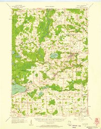
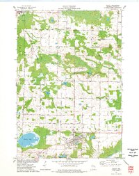
Historical Maps of Gillett Through Time
Featured Locations
Source Details
SourceU.S. Geological Survey
CopyrightPublic Domain