
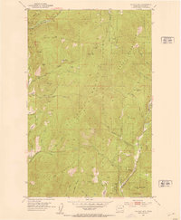
1992 Map of Gillette Mtn
USGS Topo · Published 1996About this map
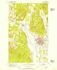
Uncle Sam Mountain and Onion Mtn anchor this rugged section of Stevens County, where the industrial legacy of the Pacific Northwest is etched into the landscape. Revised in the early 1990s, the map reveals a history of extraction concentrated in the steep drainages of Clugston Creek and Aladdin Creek. A notable cluster of mineral sites, including the Chloride Queen Mine, Tenderfoot Mine, and the Shoemaker Mine, suggests a period of significant activity that shaped the local geography. Small settlements and operational outposts like Reed Ranch and Comstock provide evidence of the remote residential and ranching patterns that coexisted with the mining industry. The map also traces the winding courses of Weaver Creek and Onion Creek through the Colville National Forest, alongside landmarks such as Jumpoff Joe Bluff and Mount Rogers.
Find a feature on this map
42 named features on this map. Tap any name to fly to it.
Don’t see what you’re looking for? This feature index may not catch every label — zoom into the map to look around manually.
Map Details
Editions of this 1992 Gillette Mtn Map
This is the sole edition of this map. No revisions or reprints were ever made.
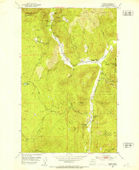
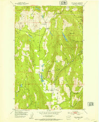
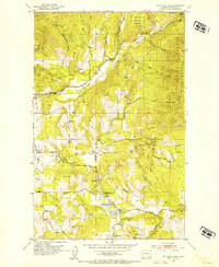
Other maps of this area

1929 · Colville
USGS Topo · 1:125,000

1933 · Colville
USGS Topo · 1:125,000
1952 · Gillette Mtn
USGS Topo · 1:24,000
1952 · Spirit
USGS Topo · 1:24,000
1952 · Echo Valley
USGS Topo · 1:24,000
1952 · White Mud Lake
USGS Topo · 1:24,000

1952 · Aladdin
USGS Topo · 1:24,000
1952 · Colville
USGS Topo · 1:24,000

1958 · Sandpoint
USGS Topo · 1:250,000

1963 · Sandpoint
USGS Topo · 1:250,000