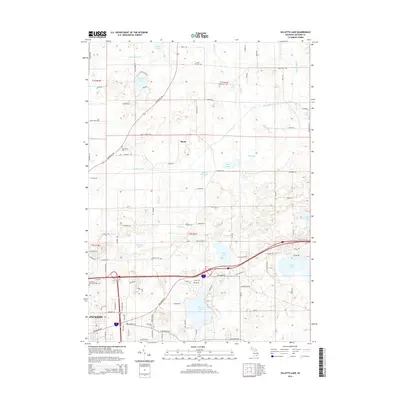
2014 Map of Gilletts Lake
USGS Topo · Published 2014About this map
Gilletts Lake and the eastern outskirts of Jackson define this landscape in the early 21st century. The map reveals a dense network of glacial water bodies and drainage systems, including the Portage River, Brill Lake, and the sprawling Goose Lake to the east. For genealogists, the survey identifies several historic burial grounds such as Hillcrest Memorial Park Cem, Coon Hill Cem, and the Harrington Cem near Roots. This 2014 edition documents the modern road infrastructure, including the Portage River valley and numerous local routes like Seymour Rd and Bunkerhill Rd, showing how residential expansion has integrated with the natural wetlands and lakes that have long characterized this part of Jackson County.
Find a feature on this map
102 named features on this map. Tap any name to fly to it.
Don’t see what you’re looking for? This feature index may not catch every label — zoom into the map to look around manually.
Map Details
Editions of this 2014 Gilletts Lake Map
This is the sole edition of this map. No revisions or reprints were ever made.
Other maps of this area

1919 · Stockbridge
USGS Topo · 1:62,500

1919 · Rives Junction
USGS Topo · 1:62,500

1921 · Rives Junction
USGS Topo · 1:62,500

1922 · Stockbridge
USGS Topo · 1:62,500

1935 · Jackson
USGS Topo · 1:48,000

1939 · Jackson
USGS Topo · 1:62,500

1942 · Stockbridge
USGS Topo · 1:62,500

1948 · Manchester
USGS Topo · 1:62,500

1949 · Manchester
USGS Topo · 1:62,500

1958 · Grand Rapids
USGS Topo · 1:250,000