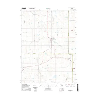
1922 Map of Stockbridge
USGS Topo · Published 1922About this map
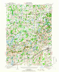
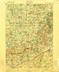
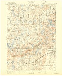
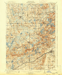
Stockbridge serves as a primary hub in this early twentieth-century landscape, where the rural junction of Ingham, Jackson, Livingston, and Washtenaw counties is defined by a dense network of country schools and glacial lakes. One-room schoolhouses like Strobel School, Dewey School, and Moss School are spaced nearly every two miles, anchoring the farming communities of Waterloo and Lyndon. The region's transport economy is visible through the Grand Trunk and Michigan Central rail lines, which connect small depots such as Sylvan Sta and Gregory to larger centers like Chelsea.
Find a feature on this map
140 named features on this map. Tap any name to fly to it.
Don’t see what you’re looking for? This feature index may not catch every label — zoom into the map to look around manually.
Map Details
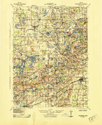
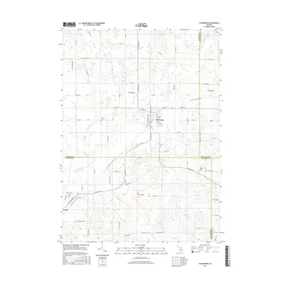
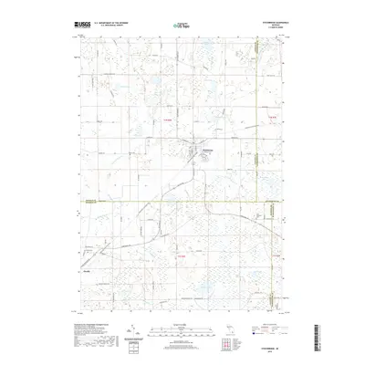
Editions of this 1922 Stockbridge Map
3 editions found
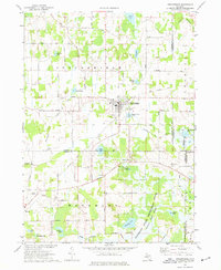
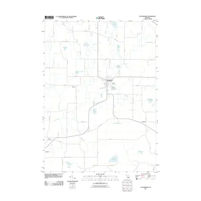
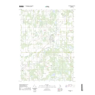
Historical Maps of Putnam Township Through Time
9 maps found