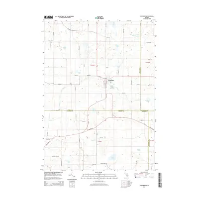
1922 Map of Stockbridge
USGS Topo · Published 1942About this map
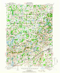
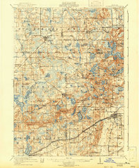
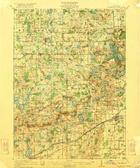
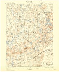
The rolling glacial landscape of central Michigan is defined by its numerous kettle lakes and wetland depressions in this 1919 survey. The village of Stockbridge serves as a primary hub for the Grand Trunk railway, while to the southeast, the town of Chelsea anchors a more industrial corridor along the Michigan Central and Detroit and Chicago lines. Rural life is meticulously documented through a dense network of country schools, including the Stilson School and McIntee School, alongside the numerous family-named landmarks like Sackrider Hill and Stofer Hill. The map illustrates the early development of the regional road system with prominent markers for the Michigan Base Line and various Trunk Line routes. These corridors connect older settlements like Plainfield, Unadilla, and Waterloo through a landscape punctuated by water bodies such as Bruin Lake and Blind Lake.
Find a feature on this map
127 named features on this map. Tap any name to fly to it.
Don’t see what you’re looking for? This feature index may not catch every label — zoom into the map to look around manually.
Map Details
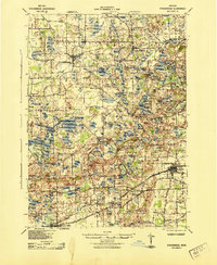
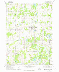
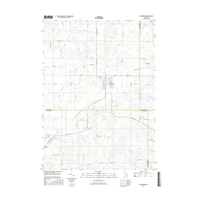
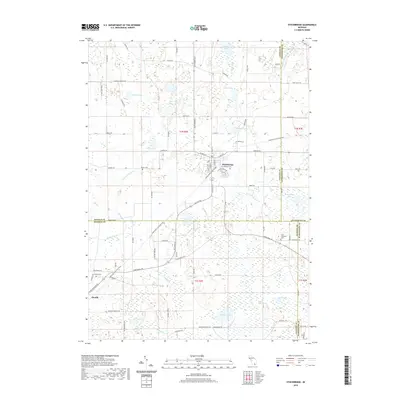
Editions of this 1922 Stockbridge Map
3 editions found
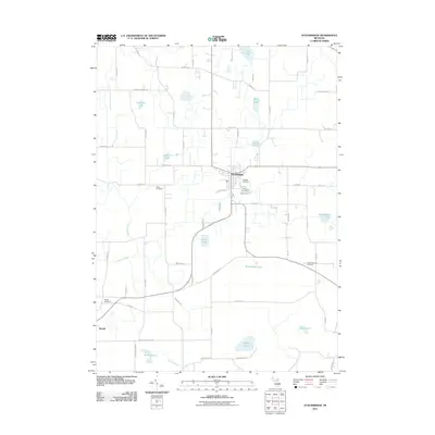
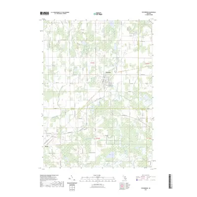
Historical Maps of Putnam Township Through Time
9 maps found