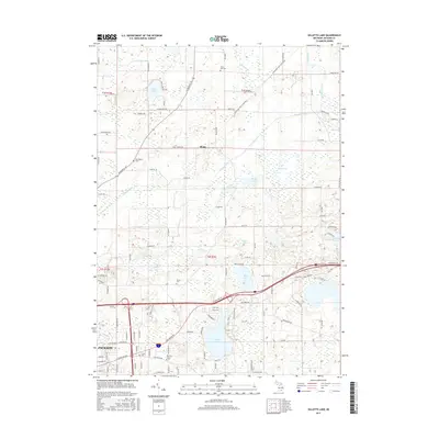
2017 Map of Gilletts Lake
USGS Topo · Published 2017About this map
Gilletts Lake and the northeastern outskirts of Jackson anchor this landscape, where the residential expansion of the city meets a complex network of glacial wetlands and water bodies. The terrain is defined by the Portage River and its numerous tributaries, including Wildcat Cr and Orchard Cr, which connect a series of smaller basins like Brill Lake, Saint John Lake, and Eagle Lake. This patchwork of water and land has shaped local development, as seen in the winding roads that navigate between marshes and the placement of long-standing community landmarks.
Find a feature on this map
111 named features on this map. Tap any name to fly to it.
Don’t see what you’re looking for? This feature index may not catch every label — zoom into the map to look around manually.
Map Details
Editions of this 2017 Gilletts Lake Map
This is the sole edition of this map. No revisions or reprints were ever made.
Other maps of this area

1919 · Stockbridge
USGS Topo · 1:62,500

1919 · Rives Junction
USGS Topo · 1:62,500

1921 · Rives Junction
USGS Topo · 1:62,500

1922 · Stockbridge
USGS Topo · 1:62,500

1935 · Jackson
USGS Topo · 1:48,000

1939 · Jackson
USGS Topo · 1:62,500

1942 · Stockbridge
USGS Topo · 1:62,500

1948 · Manchester
USGS Topo · 1:62,500

1949 · Manchester
USGS Topo · 1:62,500

1958 · Grand Rapids
USGS Topo · 1:250,000