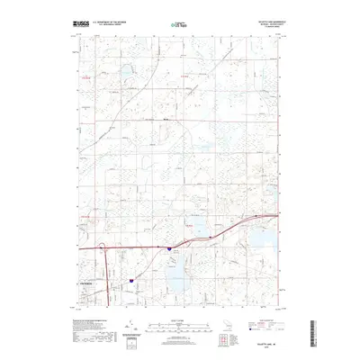
2019 Map of Gilletts Lake
USGS Topo · Published 2019About this map
Gilletts Lake and the surrounding township terrain are defined by a complex network of glacial kettle lakes and marshy drainages east of Jackson. The Portage River meanders through the central landscape, connecting several significant water bodies including Saint John Lake, Eagle Lake, and Brill Lake. This modern survey reveals a countryside where early rural cemetery sites like Harrington Cem, Kinch Cem, and Maxon Cem remain preserved alongside newer recreational corridors. The Lakelands Trail State Park follows a former rail grade through the northern section, passing the small settlement at Roots. Significant elevation points like Coon Hill overlook the low-lying wetlands of Wildcat Cr and Battese Cr, illustrating the persistent drainage patterns that have historically shaped local land use and development in this part of Michigan.
Find a feature on this map
110 named features on this map. Tap any name to fly to it.
Don’t see what you’re looking for? This feature index may not catch every label — zoom into the map to look around manually.
Map Details
Editions of this 2019 Gilletts Lake Map
This is the sole edition of this map. No revisions or reprints were ever made.
Other maps of this area

1919 · Stockbridge
USGS Topo · 1:62,500

1919 · Rives Junction
USGS Topo · 1:62,500

1921 · Rives Junction
USGS Topo · 1:62,500

1922 · Stockbridge
USGS Topo · 1:62,500

1935 · Jackson
USGS Topo · 1:48,000

1939 · Jackson
USGS Topo · 1:62,500

1942 · Stockbridge
USGS Topo · 1:62,500

1948 · Manchester
USGS Topo · 1:62,500

1949 · Manchester
USGS Topo · 1:62,500

1958 · Grand Rapids
USGS Topo · 1:250,000