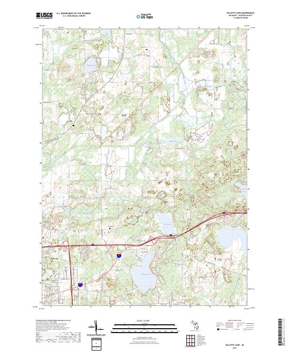
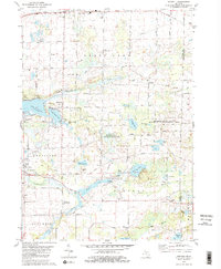
2023 Map of Gilletts Lake
USGS Topo · Published 2023This historical map portrays the area of Gilletts Lake in 2023, primarily covering Jackson. Featuring a scale of 1:24000, this map provides a highly detailed snapshot of the terrain, roads, buildings, counties, and historical landmarks in the Gilletts Lake region at the time. Published in 2023, it is the sole known edition of this map.
Find a feature on this map
110 named features on this map. Tap any name to fly to it.
Don’t see what you’re looking for? This feature index may not catch every label — zoom into the map to look around manually.
Map Details
Editions of this 2023 Gilletts Lake Map
This is the sole edition of this map. No revisions or reprints were ever made.
Historical Maps of Blackman Charter Township Through Time
14 maps found

1919 Rives Junction
Jackson County, MI
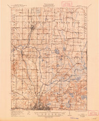
1921 Rives Junction
Jackson County, MI
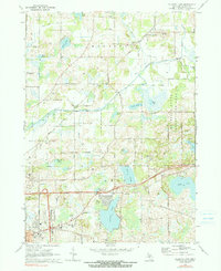
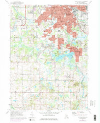
1970 Gilletts Lake
Jackson County, MI
1970 Jackson North
Jackson County, MI
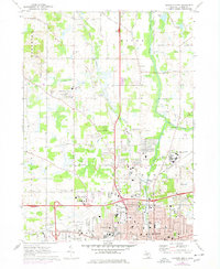
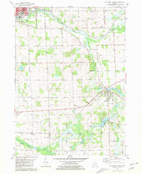
1971 Jackson South
Jackson County, MI
1980 Norvell
Jackson County, MI

1981 Northeast Albion
Jackson County, MI
1981 Southeast Albion
Jackson County, MI
2023 Gilletts Lake
Jackson County, MI
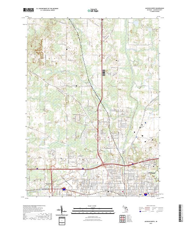
2023 Jackson North
Jackson County, MI
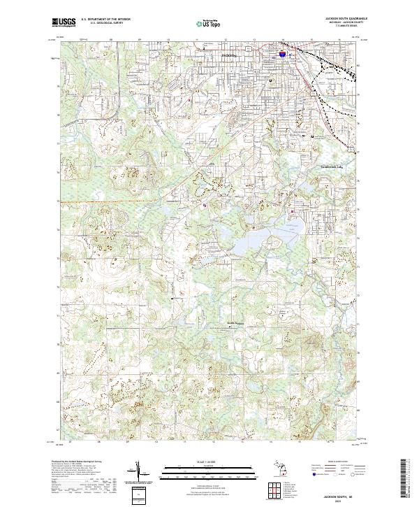
2023 Jackson South
Jackson County, MI
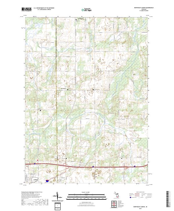
2023 Northeast Albion
Jackson County, MI
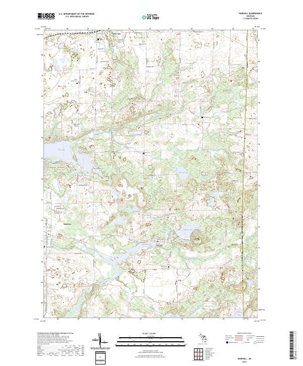
2023 Norvell
Jackson County, MI
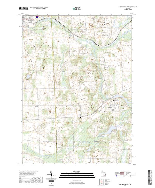
2023 Southeast Albion
Jackson County, MI
Featured Locations
- Blackman Charter Township, MI
- Waterloo Township, MI
- Henrietta Township, MI
- Jackson, MI
- Roots, Henrietta Township