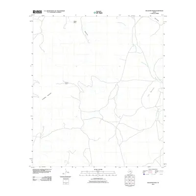
2010 Map of Gilliland Peak
USGS Topo · Published 2010About this map
The high desert rangeland of Brewster County is defined here by isolated homesteads and the dramatic topography of the Trans-Pecos. At the northern edge, Beatty Place sits near the drainage of Moose Draw, while Sullivan Ranch occupies a central position among the winding desert roads and dry washes. The landscape is dominated by the looming presence of Cathedral Mountain and Iron Mountain, which rise sharply from the basin floor. This 2010 survey illustrates the remote character of the region, where water is the primary geographic driver, centered on the course of Peña Colorado Creek. The map records a sparse network of ranching infrastructure and local landmarks like Road Canyon, documenting the enduring settlement patterns in this part of West Texas during the early 21st century.
Find a feature on this map
7 named features on this map. Tap any name to fly to it.
Don’t see what you’re looking for? This feature index may not catch every label — zoom into the map to look around manually.
Map Details
Editions of this 2010 Gilliland Peak Map
This is the sole edition of this map. No revisions or reprints were ever made.
Other maps of this area
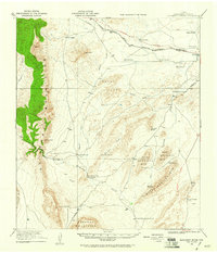
1920 · Monument Spring
USGS Topo · 1:62,500
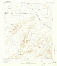
1920 · Marathon
USGS Topo · 1:62,500
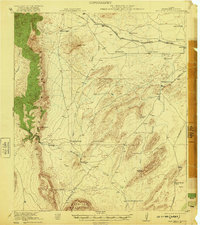
1921 · Monument Spring
USGS Topo · 1:62,500
1921 · Marathon
USGS Topo · 1:62,500
1923 · Hess Canyon
USGS Topo · 1:62,500
1923 · Altuda
USGS Topo · 1:62,500

1954 · Fort Stockton
USGS Topo · 1:250,000
1958 · Fort Stockton
USGS Topo · 1:250,000
1973 · Fort Stockton
USGS Topo · 1:250,000
1983 · Dugout Mountain
USGS Topo · 1:24,000