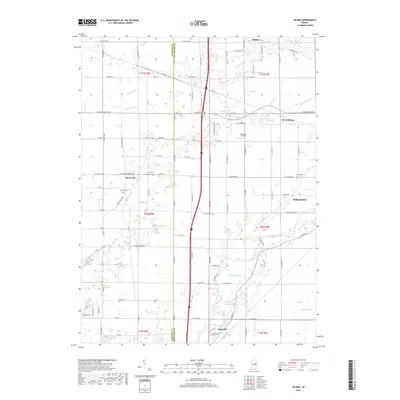
2019 Map of Gilman
USGS Topo · Published 2019About this map
The White River winds through the southern reaches of this landscape, anchoring the larger settlements of Yorktown and Daleville. This region along the boundary of Madison and Delaware Counties is defined by a dense network of minor waterways, including Killbuck Creek, York Prairie Creek, and Pleasant Run Creek. The map documents a transition from these riparian zones to an organized grid of county roads and rail infrastructure that supported a series of smaller rural hubs.
Find a feature on this map
75 named features on this map. Tap any name to fly to it.
Don’t see what you’re looking for? This feature index may not catch every label — zoom into the map to look around manually.
Map Details
Editions of this 2019 Gilman Map
This is the sole edition of this map. No revisions or reprints were ever made.
Other maps of this area

1952 · Muncie West
USGS Topo · 1:24,000

1952 · Anderson
USGS Topo · 1:24,000

1953 · Muncie
USGS Topo · 1:250,000

1956 · Muncie
USGS Topo · 1:250,000

1960 · Gilman
USGS Topo · 1:24,000

1960 · Middletown
USGS Topo · 1:24,000

1960 · Alexandria
USGS Topo · 1:24,000

1960 · Wheeling
USGS Topo · 1:24,000

1960 · Sulphur Springs
USGS Topo · 1:24,000

1960 · Gaston
USGS Topo · 1:24,000