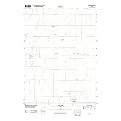
2010 Map of Gilman
USGS Topo · Published 2010About this map
Gilman serves as the primary hub in this corner of Marshall County, characterized by a grid of agricultural fields and a network of creeks. The landscape is defined by the branching waterways of Timber Creek, Brush Creek, and Raven Creek, which navigate the productive Iowa farmland. Small clusters of settlement at Ferguson, Pickering, and Dillon suggest the enduring importance of local crossroads and historical rural centers even into the twenty-first century.
Find a feature on this map
49 named features on this map. Tap any name to fly to it.
Don’t see what you’re looking for? This feature index may not catch every label — zoom into the map to look around manually.
Map Details
Editions of this 2010 Gilman Map
This is the sole edition of this map. No revisions or reprints were ever made.
Other maps of this area

1954 · Waterloo
USGS Topo · 1:250,000

1954 · Des Moines
USGS Topo · 1:250,000

1955 · Waterloo
USGS Topo · 1:250,000

1956 · Des Moines
USGS Topo · 1:250,000

1957 · Des Moines
USGS Topo · 1:250,000

1960 · Marshalltown
USGS Topo · 1:24,000

1960 · Marshalltown
USGS Topo · 1:62,500

1960 · Le Grand
USGS Topo · 1:24,000

1969 · Des Moines
USGS Topo · 1:250,000

1971 · Garwin
USGS Topo · 1:24,000