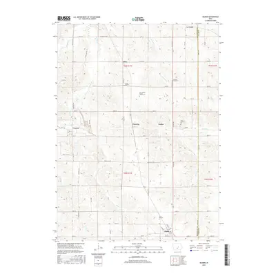
2015 Map of Gilman
USGS Topo · Published 2015About this map
Gilman serves as the southern anchor for this section of the Marshall and Tama County borderlands, where the landscape is defined by a dense grid of section-line roads and numerous small rural settlements. The map documents several community clusters, including Le Grand, Ferguson, and the rail-oriented villages of Dillon, Pickering, and Dunbar. This area is notable for its concentration of denominational burying grounds, which reflect the ethnic and religious heritage of the settlers who worked these fields. Researchers will find the Saint Joseph's German Lutheran Cem and Stavanger Friends Cem particularly significant for tracing regional genealogy. The drainage patterns of Timber Cr and Brush Cr break the geometric precision of the farm plots, illustrating how the natural hydrology of central Iowa influenced the placement of original homesteads and local roads like Coppock Park Rd.
Find a feature on this map
61 named features on this map. Tap any name to fly to it.
Don’t see what you’re looking for? This feature index may not catch every label — zoom into the map to look around manually.
Map Details
Editions of this 2015 Gilman Map
This is the sole edition of this map. No revisions or reprints were ever made.
Other maps of this area
1954 · Waterloo
USGS Topo · 1:250,000
1954 · Des Moines
USGS Topo · 1:250,000
1955 · Waterloo
USGS Topo · 1:250,000
1956 · Des Moines
USGS Topo · 1:250,000
1957 · Des Moines
USGS Topo · 1:250,000
1960 · Marshalltown
USGS Topo · 1:24,000
1960 · Marshalltown
USGS Topo · 1:62,500
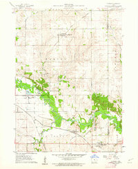
1960 · Le Grand
USGS Topo · 1:24,000
1969 · Des Moines
USGS Topo · 1:250,000
1971 · Garwin
USGS Topo · 1:24,000