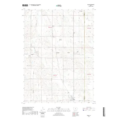
2018 Map of Gilman
USGS Topo · Published 2018About this map
Agricultural lands along the border of Marshall and Tama counties define this portion of central Iowa, where small settlements like Le Grand and Gilman anchor a landscape of section-line roads and creek drainages. The area is notable for its numerous burial grounds that reflect the heritage of local congregations, including the Stavanger Friends Cem and the Saint Joseph's German Lutheran Cem. These sites, along with others like Trinity Lutheran Cem and Strand Lutheran Cem, provide specific points of interest for genealogists tracing early families in these rural townships.
Find a feature on this map
64 named features on this map. Tap any name to fly to it.
Don’t see what you’re looking for? This feature index may not catch every label — zoom into the map to look around manually.
Map Details
Editions of this 2018 Gilman Map
This is the sole edition of this map. No revisions or reprints were ever made.
Other maps of this area
1954 · Waterloo
USGS Topo · 1:250,000
1954 · Des Moines
USGS Topo · 1:250,000
1955 · Waterloo
USGS Topo · 1:250,000
1956 · Des Moines
USGS Topo · 1:250,000
1957 · Des Moines
USGS Topo · 1:250,000
1960 · Marshalltown
USGS Topo · 1:24,000
1960 · Marshalltown
USGS Topo · 1:62,500
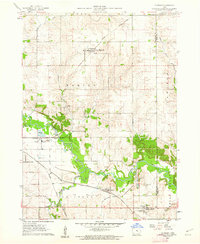
1960 · Le Grand
USGS Topo · 1:24,000
1969 · Des Moines
USGS Topo · 1:250,000
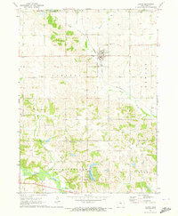
1971 · Garwin
USGS Topo · 1:24,000